First Map of World's Coral Reefs
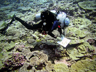
Scientists have completed the first map of the world's coral reefs to monitor and conserve an ecosystem that facing the threat of destruction by human activities and climate change. The Paul Allen Atlas combines over 2 million images using the local reference data to create a high-resolution map of coral reefs. The map provides a better way to understand and protect increasingly threatened coral reefs. Nearly 98000 square miles of coral reefs have been mapped up to the depth of 50 meters. It also collects data about the seafloor and ocean that interacts with the coral reefs, including wave turbidity and the presence of rocks and sand. “There are countries, organizations and government agencies in the world that don’t have a map of their reefs […] so these maps will help people by basically giving a baseline to better assess where the action is needed,” says marine scientist Chris Roelfsema, who led the mapping process for the Allen Coral Atlas, to Mongabay . “We can better make pl...